File:Valley Map.png
From D&D Wiki
Revision as of 08:01, 15 September 2013 by Green Dragon (talk | contribs)
Size of this preview: 800 × 471 pixels. Other resolutions: 320 × 188 pixels | 882 × 519 pixels.
Original file (882 × 519 pixels, file size: 29 KB, MIME type: image/png)
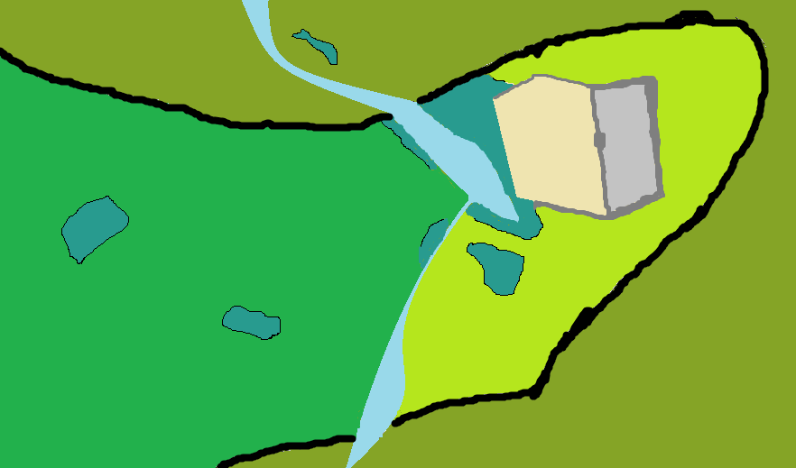
A general map, detailing the surroundings of a village and castle.
Back to Main Page → 4e Homebrew → Maps → Regional Maps
Back to Main Page → 3.5e Homebrew → Maps → Regional Maps
Back to Main Page → D20 Modern → Maps → Regional Maps
File history
Click on a date/time to view the file as it appeared at that time.
| Date/Time | Thumbnail | Dimensions | User | Comment | |
|---|---|---|---|---|---|
| current | 05:17, 16 October 2012 | | 882 × 519 (29 KB) | Milo v3 (talk | contribs) | A general map, detailing the surroundings of a village and castle. |
You cannot overwrite this file.
File usage
The following page uses this file: