File:Tull.jpg
From D&D Wiki
Size of this preview: 800 × 566 pixels. Other resolutions: 320 × 226 pixels | 3,509 × 2,481 pixels.
Original file (3,509 × 2,481 pixels, file size: 1.13 MB, MIME type: image/jpeg)
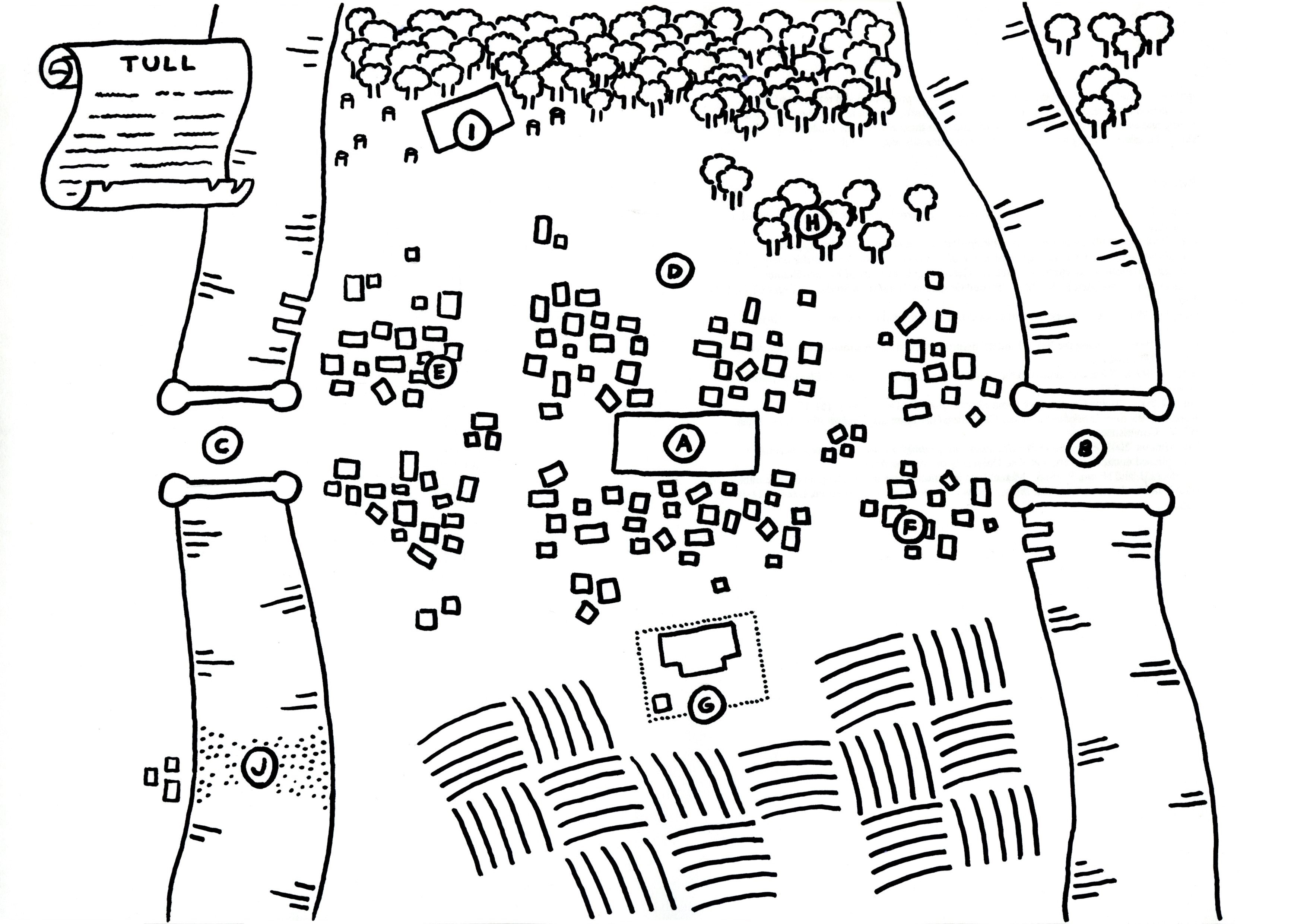
A map of Tull, created by Cancelion.
Back to Main Page → 3.5e Homebrew → Campaign Settings → Years of Gold
Back to Main Page → 4e Homebrew → Maps → Regional Maps
Back to Main Page → 3.5e Homebrew → Maps → Regional Maps
Back to Main Page → D20 Modern → Maps → Regional Maps
File history
Click on a date/time to view the file as it appeared at that time.
| Date/Time | Thumbnail | Dimensions | User | Comment | |
|---|---|---|---|---|---|
| current | 05:07, 14 February 2017 | | 3,509 × 2,481 (1.13 MB) | Cancelion (talk | contribs) | A map of Tull, created by Cancelion. |
| 05:05, 14 February 2017 |  | 3,509 × 2,481 (1.14 MB) | Cancelion (talk | contribs) | A map of Tull, created by Cancelion. |
You cannot overwrite this file.
File usage
The following page uses this file: