File:TheDangerousDruidMap01.jpg
From D&D Wiki
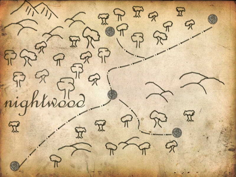
Revision as of 03:52, 20 November 2014 by Endboss ZA (talk | contribs) (Player's map showing the general area. Includes the trade road and the rough location of a few small frontier towns. The Nightwood is to the left of the road.)
No higher resolution available.
TheDangerousDruidMap01.jpg (800 × 600 pixels, file size: 250 KB, MIME type: image/jpeg)
Player's map showing the general area. Includes the trade road and the rough location of a few small frontier towns. The Nightwood is to the left of the road.
File history
Click on a date/time to view the file as it appeared at that time.
| Date/Time | Thumbnail | Dimensions | User | Comment | |
|---|---|---|---|---|---|
| current | 03:52, 20 November 2014 | | 800 × 600 (250 KB) | Endboss ZA (talk | contribs) | Player's map showing the general area. Includes the trade road and the rough location of a few small frontier towns. The Nightwood is to the left of the road. |
You cannot overwrite this file.
File usage
The following page uses this file: